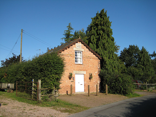
Chapel House, Lowbands
Introduction
The photograph on this page of Chapel House, Lowbands by Pauline E as part of the Geograph project.
The Geograph project started in 2005 with the aim of publishing, organising and preserving representative images for every square kilometre of Great Britain, Ireland and the Isle of Man.
There are currently over 7.5m images from over 14,400 individuals and you can help contribute to the project by visiting https://www.geograph.org.uk

Image: © Pauline E Taken: 29 Sep 2008
Lowbands is a former Chartist settlement, now designated as a Conservation Area. In the mid 1840s the Chartist Movement attempted to settle “the working classes" on the land. Around forty houses were built in the settlement which has few facilities or services. The houses which are left are distinctive in that they are set in spacious grounds of between one and five acres. Much of the original layout remains filling most of the grid square.

