Entering Lowbands
Introduction
The photograph on this page of Entering Lowbands by Pauline E as part of the Geograph project.
The Geograph project started in 2005 with the aim of publishing, organising and preserving representative images for every square kilometre of Great Britain, Ireland and the Isle of Man.

There are currently over 7.5m images from over 14,400 individuals and you can help contribute to the project by visiting https://www.geograph.org.uk
Entering Lowbands
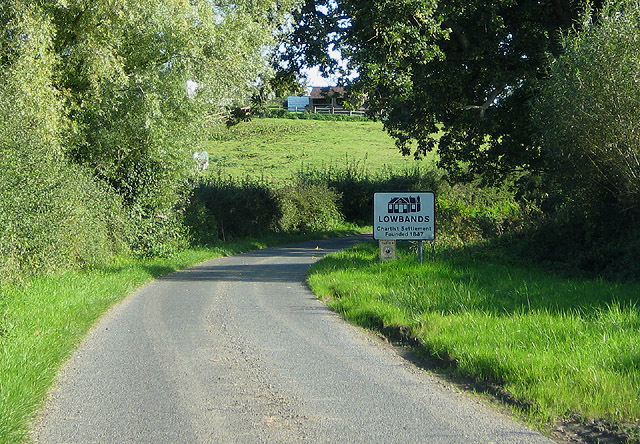
Image: © Pauline E Taken: 29 Sep 2008
A former Chartist settlement of around forty houses, although that is now much reduced.
Images are licensed for reuse under creativecommons.org/licenses/by-sa/2.0
Image Location
Latitude
51.976807
Longitude
-2.335238