Scarcroft Toll Bar House
Introduction
The photograph on this page of Scarcroft Toll Bar House by Neil Atterby as part of the Geograph project.
The Geograph project started in 2005 with the aim of publishing, organising and preserving representative images for every square kilometre of Great Britain, Ireland and the Isle of Man.

There are currently over 7.5m images from over 14,400 individuals and you can help contribute to the project by visiting https://www.geograph.org.uk
Scarcroft Toll Bar House
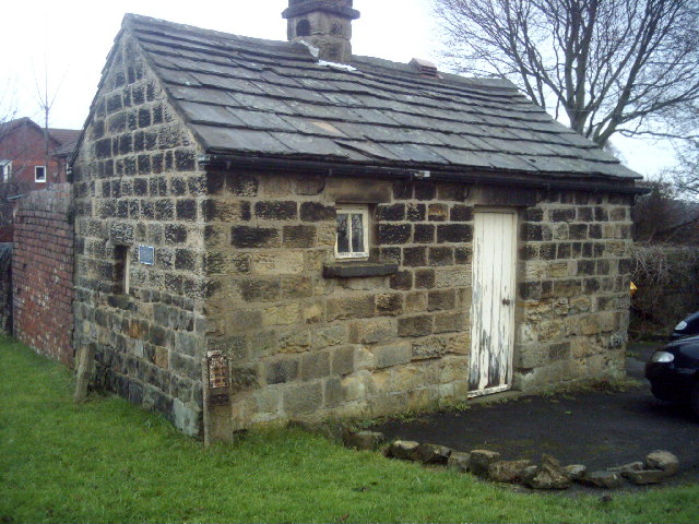
Image: © Neil Atterby Taken: 1 Jan 2006
Built after the construction of the Wetherby/Leeds road in 1826. The Toll system lapsed by 1876 and the gates where removed.
Images are licensed for reuse under creativecommons.org/licenses/by-sa/2.0
Image Location


Leaflet Map data © OpenStreetMap
Latitude
53.872029
Longitude
-1.446369