Sustrans Route 66, Calder Valley
Introduction
The photograph on this page of Sustrans Route 66, Calder Valley by michael ely as part of the Geograph project.
The Geograph project started in 2005 with the aim of publishing, organising and preserving representative images for every square kilometre of Great Britain, Ireland and the Isle of Man.

There are currently over 7.5m images from over 14,400 individuals and you can help contribute to the project by visiting https://www.geograph.org.uk
Sustrans Route 66, Calder Valley
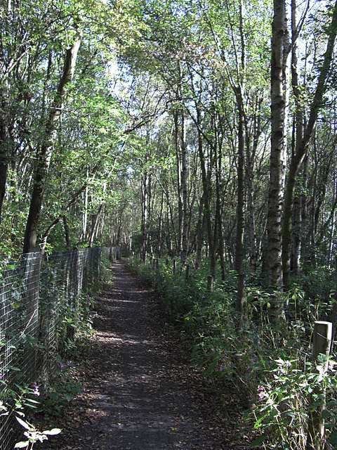
Image: © michael ely Taken: 28 Sep 2008
Here we are looking east towards Sowerby Bridge having just left Mytholmroyd. The railway line is to the left of the wire fence.
Images are licensed for reuse under creativecommons.org/licenses/by-sa/2.0
Image Location
Latitude
53.727786
Longitude
-1.972833