Verdant trough
Introduction
The photograph on this page of Verdant trough by Malcolm Kewn as part of the Geograph project.
The Geograph project started in 2005 with the aim of publishing, organising and preserving representative images for every square kilometre of Great Britain, Ireland and the Isle of Man.

There are currently over 7.5m images from over 14,400 individuals and you can help contribute to the project by visiting https://www.geograph.org.uk
Verdant trough
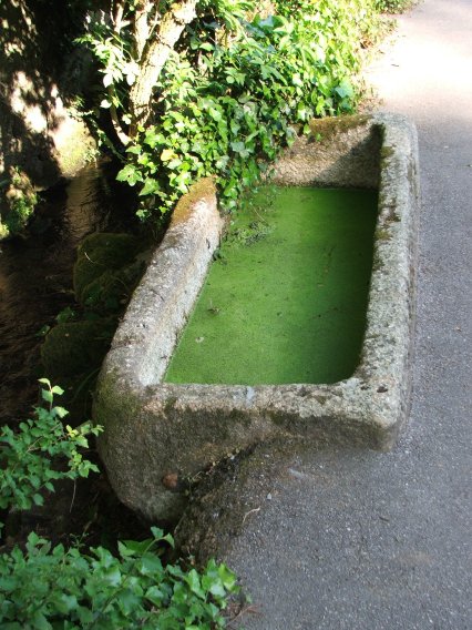
Image: © Malcolm Kewn Taken: 12 May 2008
Granite trough beside a stream, formerly for the use of pack mules bringing ore to the nearby smelter (the remains of which are now heavily overgrown a short distance further along the lane)
Images are licensed for reuse under creativecommons.org/licenses/by-sa/2.0
Image Location
Latitude
50.125896
Longitude
-5.53005