Stowe Barton Farm
Introduction
The photograph on this page of Stowe Barton Farm by Tony Peacock as part of the Geograph project.
The Geograph project started in 2005 with the aim of publishing, organising and preserving representative images for every square kilometre of Great Britain, Ireland and the Isle of Man.

There are currently over 7.5m images from over 14,400 individuals and you can help contribute to the project by visiting https://www.geograph.org.uk
Stowe Barton Farm
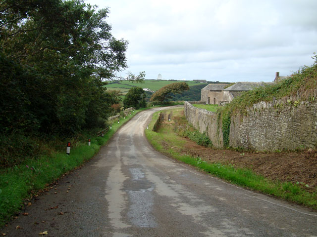
Image: © Tony Peacock Taken: 31 Aug 2008
Located to the south of the Coombe Valley, this building is mentioned in the Domesday Book.
Images are licensed for reuse under creativecommons.org/licenses/by-sa/2.0
Image Location


Leaflet Map data © OpenStreetMap
Latitude
50.873641
Longitude
-4.543107