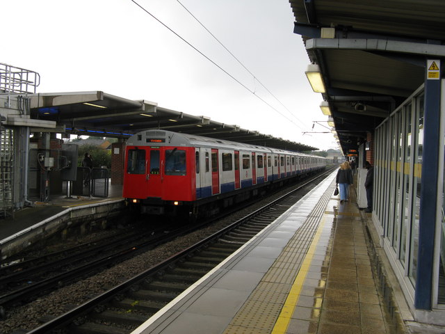
West Ham station
Introduction
The photograph on this page of West Ham station by Dr Neil Clifton as part of the Geograph project.
The Geograph project started in 2005 with the aim of publishing, organising and preserving representative images for every square kilometre of Great Britain, Ireland and the Isle of Man.
There are currently over 7.5m images from over 14,400 individuals and you can help contribute to the project by visiting https://www.geograph.org.uk

Image: © Dr Neil Clifton Taken: 24 Sep 2008
West Ham is a complicated station. On the high level, shown here, are the District Line tracks, with a Wimbledon train ready to depart, and the ex-London, Tilbury and Southend platforms, from which this photograph was taken. Down below, but still above ground here, are the Jubilee Line tracks, and also the currently-disused trackbed of the North London Line, soon to be re-used for another Docklands Light Railway line which will serve Stratford and also Stratford International, on the Channel Tunnel route.

