Turkey Street station
Introduction
The photograph on this page of Turkey Street station by David Kemp as part of the Geograph project.
The Geograph project started in 2005 with the aim of publishing, organising and preserving representative images for every square kilometre of Great Britain, Ireland and the Isle of Man.

There are currently over 7.5m images from over 14,400 individuals and you can help contribute to the project by visiting https://www.geograph.org.uk
Turkey Street station
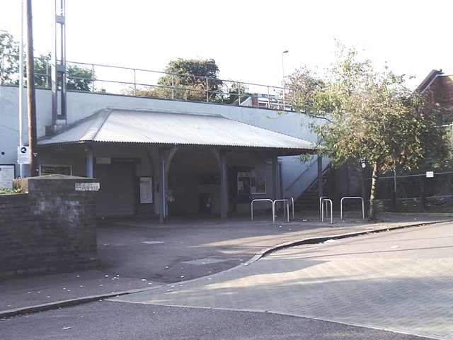
Image: © David Kemp Taken: 27 Sep 2008
In 1890 the Great Eastern Railway opened a link known at the time as the Churchbury Loop between Bury Street Junction, Edmonton (on its line to Enfield Town) and Cheshunt (on its main line to Cambridge). One of the stations was the present Turkey Street, then known as Forty Hill. The line was not a success and the passenger service was withdrawn in 1909 in the wake of local tramway competition, although it did regain a passenger service between 1915-1919 to cater for the extra traffic generated by munitions factories in the area. However, the station was reopened to passengers as Turkey Street in 1960 as part of the electrification of the lines from Liverpool Street to Hertford, Bishop's Stortford and elsewhere. In 2015 the lines from Liverpool Street to Enfield and elsewhere were taken over by London Overground which brought many improvements in its wake. See Image for a somewhat different view of this station.
Images are licensed for reuse under creativecommons.org/licenses/by-sa/2.0
Image Location


Leaflet Map data © OpenStreetMap
Latitude
51.672711
Longitude
-0.046924