Field, south of Green Lane, Trowbridge
Introduction
The photograph on this page of Field, south of Green Lane, Trowbridge by Alan Cooper as part of the Geograph project.
The Geograph project started in 2005 with the aim of publishing, organising and preserving representative images for every square kilometre of Great Britain, Ireland and the Isle of Man.

There are currently over 7.5m images from over 14,400 individuals and you can help contribute to the project by visiting https://www.geograph.org.uk
Field, south of Green Lane, Trowbridge
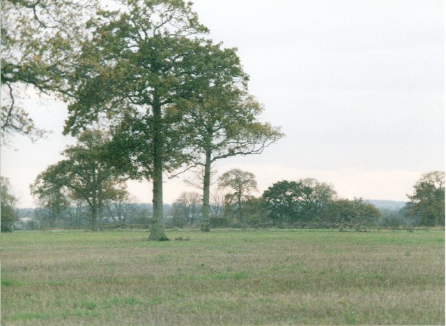
Image: © Alan Cooper Taken: Unknown
The picture looks west with Green Lane Wood behind the photographer and Green Lane and Green Lane Farm to the right. North of Green Lane is the huge and recently built Paxcroft Mead housing estate. The structural plan shows housing planned to the south of the lane along with a distributor road, though the field in the photo is unallocated in the plan, the farm is swallowed up. Maybe these fine trees will stand for some more years.
Images are licensed for reuse under creativecommons.org/licenses/by-sa/2.0
Image Location
Latitude
51.316476
Longitude
-2.176438