Lumiere site and West Point
Introduction
The photograph on this page of Lumiere site and West Point by Rich Tea as part of the Geograph project.
The Geograph project started in 2005 with the aim of publishing, organising and preserving representative images for every square kilometre of Great Britain, Ireland and the Isle of Man.

There are currently over 7.5m images from over 14,400 individuals and you can help contribute to the project by visiting https://www.geograph.org.uk
Lumiere site and West Point
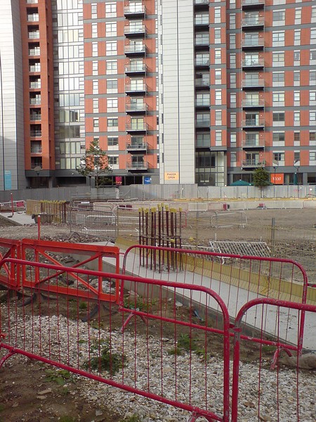
Image: © Rich Tea Taken: 28 Sep 2008
The residents of West Point will be pleased that work has ceased on the Lumiere site. Even more so, the operators of a cafe in the ground floor of West Point which lost business due to the building work, went bust and has since reopened as Toast.
Images are licensed for reuse under creativecommons.org/licenses/by-sa/2.0
Image Location
Latitude
53.795985
Longitude
-1.55288