Uplyme: war memorial
Introduction
The photograph on this page of Uplyme: war memorial by Chris Downer as part of the Geograph project.
The Geograph project started in 2005 with the aim of publishing, organising and preserving representative images for every square kilometre of Great Britain, Ireland and the Isle of Man.

There are currently over 7.5m images from over 14,400 individuals and you can help contribute to the project by visiting https://www.geograph.org.uk
Uplyme: war memorial
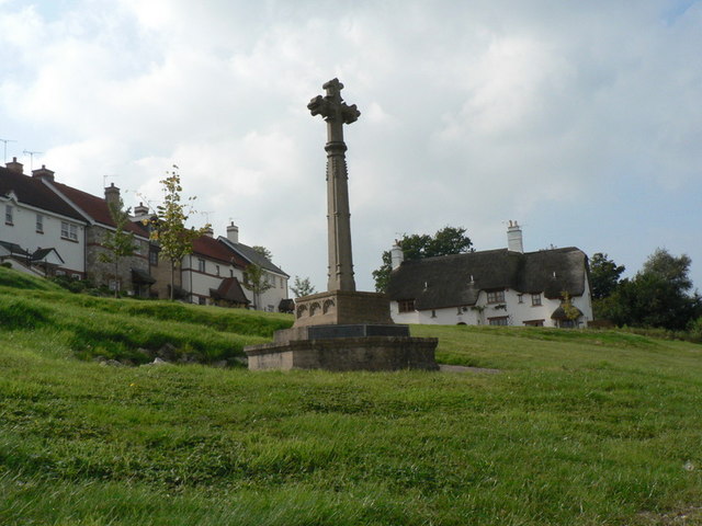
Image: © Chris Downer Taken: 27 Sep 2008
The war memorial is on a grass bank to the west of the main road, overlooked by modern development.
Images are licensed for reuse under creativecommons.org/licenses/by-sa/2.0
Image Location
Latitude
50.735022
Longitude
-2.956871