Stag Inn, Low Crosby
Introduction
The photograph on this page of Stag Inn, Low Crosby by Oliver Dixon as part of the Geograph project.
The Geograph project started in 2005 with the aim of publishing, organising and preserving representative images for every square kilometre of Great Britain, Ireland and the Isle of Man.

There are currently over 7.5m images from over 14,400 individuals and you can help contribute to the project by visiting https://www.geograph.org.uk
Stag Inn, Low Crosby
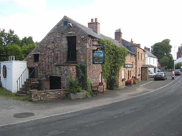
Image: © Oliver Dixon Taken: 24 Sep 2008
The villages of Low and High Crosby are now bypassed by the A689. Hadrians Wall National Trail which runs 84 miles from Bowness-on-Solway to Wallsend passes along the road through the village. http://www.nationaltrail.co.uk/hadrianswall/
Images are licensed for reuse under creativecommons.org/licenses/by-sa/2.0
Image Location
Latitude
54.926999
Longitude
-2.866777