Landmere Lane
Introduction
The photograph on this page of Landmere Lane by Alan Murray-Rust as part of the Geograph project.
The Geograph project started in 2005 with the aim of publishing, organising and preserving representative images for every square kilometre of Great Britain, Ireland and the Isle of Man.

There are currently over 7.5m images from over 14,400 individuals and you can help contribute to the project by visiting https://www.geograph.org.uk
Landmere Lane
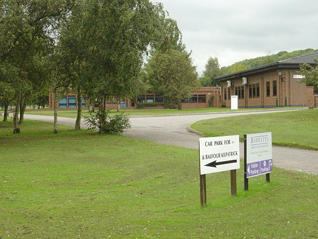
Image: © Alan Murray-Rust Taken: 23 Sep 2008
The nearer roadway is part of the old Landmere Lane, now superseded by the A52 Ring Road. The old rural character has been completely lost - this section now sports a small business park.
Images are licensed for reuse under creativecommons.org/licenses/by-sa/2.0
Image Location
Latitude
52.903189
Longitude
-1.125761