Meadow Covert
Introduction
The photograph on this page of Meadow Covert by Alan Murray-Rust as part of the Geograph project.
The Geograph project started in 2005 with the aim of publishing, organising and preserving representative images for every square kilometre of Great Britain, Ireland and the Isle of Man.

There are currently over 7.5m images from over 14,400 individuals and you can help contribute to the project by visiting https://www.geograph.org.uk
Meadow Covert
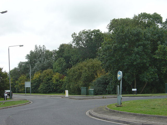
Image: © Alan Murray-Rust Taken: 23 Sep 2008
This small area of woodland, which from its name was clearly intended as a game covert, is now an island in the middle of housing development.
Images are licensed for reuse under creativecommons.org/licenses/by-sa/2.0
Image Location
Latitude
52.915906
Longitude
-1.107212