Rivar Down, east of Marten, Wiltshire
Introduction
The photograph on this page of Rivar Down, east of Marten, Wiltshire by Brian Robert Marshall as part of the Geograph project.
The Geograph project started in 2005 with the aim of publishing, organising and preserving representative images for every square kilometre of Great Britain, Ireland and the Isle of Man.

There are currently over 7.5m images from over 14,400 individuals and you can help contribute to the project by visiting https://www.geograph.org.uk
Rivar Down, east of Marten, Wiltshire
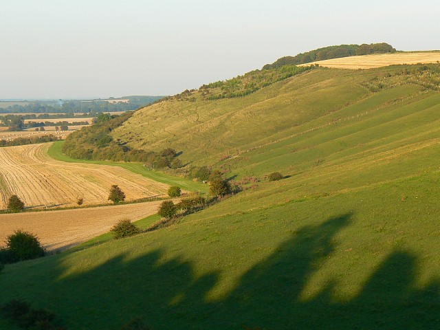
Image: © Brian Robert Marshall Taken: 26 Sep 2008
The exotically named scarp is access land in this view. It is part of a landform that runs for many kilometres roughly west to east from here in Wiltshire to Berkshire.
Images are licensed for reuse under creativecommons.org/licenses/by-sa/2.0
Image Location
Latitude
51.343434
Longitude
-1.572398