Landewednack: the South West Coast Path above Poltesco
Introduction
The photograph on this page of Landewednack: the South West Coast Path above Poltesco by Martin Bodman as part of the Geograph project.
The Geograph project started in 2005 with the aim of publishing, organising and preserving representative images for every square kilometre of Great Britain, Ireland and the Isle of Man.

There are currently over 7.5m images from over 14,400 individuals and you can help contribute to the project by visiting https://www.geograph.org.uk
Landewednack: the South West Coast Path above Poltesco
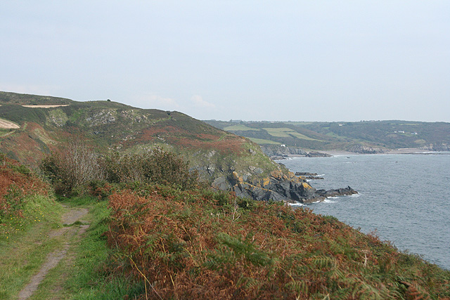
Image: © Martin Bodman Taken: 25 Sep 2008
Polbream Point is visible, just off Carleon Cove, Poltesco. Further along the coast: Kennack Sands
Images are licensed for reuse under creativecommons.org/licenses/by-sa/2.0
Image Location
Latitude
49.995608
Longitude
-5.172849