Fingask moss
Introduction
The photograph on this page of Fingask moss by Andrew Wood as part of the Geograph project.
The Geograph project started in 2005 with the aim of publishing, organising and preserving representative images for every square kilometre of Great Britain, Ireland and the Isle of Man.

There are currently over 7.5m images from over 14,400 individuals and you can help contribute to the project by visiting https://www.geograph.org.uk
Fingask moss
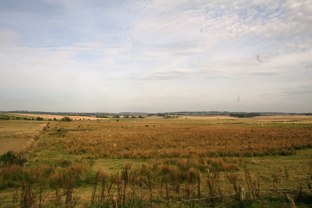
Image: © Andrew Wood Taken: 26 Sep 2008
Lowlying boggy farmland extending to Fingask originally. One of the wartime uses was as a decoy airfield but no records exist as to how successful a deception it was.
Images are licensed for reuse under creativecommons.org/licenses/by-sa/2.0
Image Location


Leaflet Map data © OpenStreetMap
Latitude
57.324925
Longitude
-2.392219