2008 : Harvested field near Upper Wraxall
Introduction
The photograph on this page of 2008 : Harvested field near Upper Wraxall by Maurice Pullin as part of the Geograph project.
The Geograph project started in 2005 with the aim of publishing, organising and preserving representative images for every square kilometre of Great Britain, Ireland and the Isle of Man.

There are currently over 7.5m images from over 14,400 individuals and you can help contribute to the project by visiting https://www.geograph.org.uk
2008 : Harvested field near Upper Wraxall
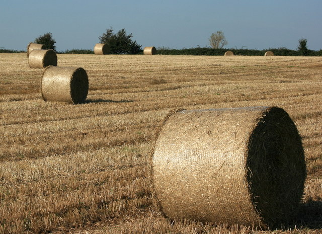
Image: © Maurice Pullin Taken: 26 Sep 2008
Not all farmers have lost their crop this year, this would have benefited from a reasonably well drained field.
Images are licensed for reuse under creativecommons.org/licenses/by-sa/2.0
Image Location
Latitude
51.469228
Longitude
-2.277515