River Pang
Introduction
The photograph on this page of River Pang by Graham Horn as part of the Geograph project.
The Geograph project started in 2005 with the aim of publishing, organising and preserving representative images for every square kilometre of Great Britain, Ireland and the Isle of Man.

There are currently over 7.5m images from over 14,400 individuals and you can help contribute to the project by visiting https://www.geograph.org.uk
River Pang
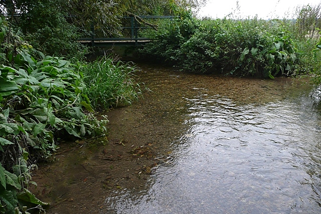
Image: © Graham Horn Taken: 25 Sep 2008
Here it can be seen how shallow the river is, despite its wide valley. This is a restricted byway crossing at a small ford but probably never used as there is a pedestrian bridge alongside.
Images are licensed for reuse under creativecommons.org/licenses/by-sa/2.0
Image Location


Leaflet Map data © OpenStreetMap
Latitude
51.436407
Longitude
-1.195472