In the Pang valley
Introduction
The photograph on this page of In the Pang valley by Graham Horn as part of the Geograph project.
The Geograph project started in 2005 with the aim of publishing, organising and preserving representative images for every square kilometre of Great Britain, Ireland and the Isle of Man.

There are currently over 7.5m images from over 14,400 individuals and you can help contribute to the project by visiting https://www.geograph.org.uk
In the Pang valley
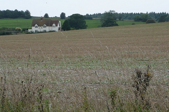
Image: © Graham Horn Taken: 25 Sep 2008
From a footpath adjacent to the River Pang, looking north-west across recently harvested arable land towards a house on the Bucklebury to Stanford Dingley Road.
Images are licensed for reuse under creativecommons.org/licenses/by-sa/2.0
Image Location
Latitude
51.439412
Longitude
-1.187938