Robin Hood Cemetery
Introduction
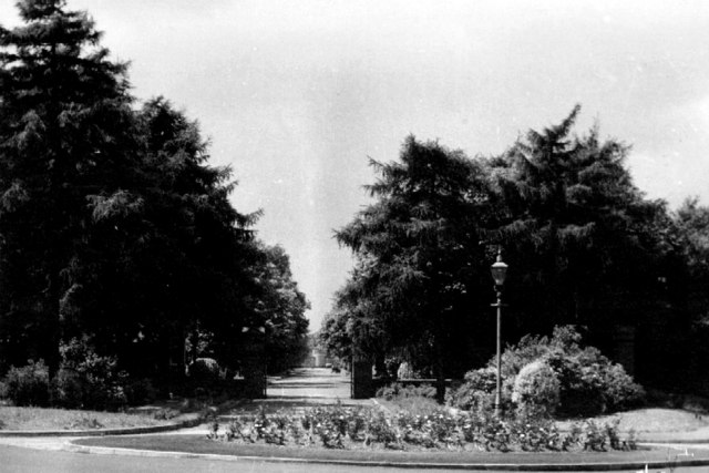
The photograph on this page of Robin Hood Cemetery by Keith Yardley as part of the Geograph project.
The Geograph project started in 2005 with the aim of publishing, organising and preserving representative images for every square kilometre of Great Britain, Ireland and the Isle of Man.
There are currently over 7.5m images from over 14,400 individuals and you can help contribute to the project by visiting https://www.geograph.org.uk

Image: © Keith Yardley Taken: Unknown
Robin Hood Cemetery in Streetsbrook Road opened in 1917 and closed for new grave burials in 1992, when Widney Manor Cemetery in Image took over as the borough's principal cemetery. A chapel (visible at the end of the avenue) was built in 1931 and Image added in 1958. For a more recent view of the entrance gateposts, see Image The 45 acre site is carved from ancient woodland, a remnant of the Forest of Arden, and in May the bluebells in the woodland areas were a magnificent sight. Sadly it seems that the name has nothing to do with the fabled outlaw, but derives from a misreading of "Robin Wood" on an 18th-century map.

