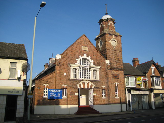
Watford Elim Church
Introduction
The photograph on this page of Watford Elim Church by Nigel Cox as part of the Geograph project.
The Geograph project started in 2005 with the aim of publishing, organising and preserving representative images for every square kilometre of Great Britain, Ireland and the Isle of Man.
There are currently over 7.5m images from over 14,400 individuals and you can help contribute to the project by visiting https://www.geograph.org.uk

Image: © Nigel Cox Taken: 21 Sep 2008
Watford's Elim Church is here in St Albans Road and was formerly a Primitive Methodist Church, with quite elaborate architecture for a building of that ilk. The curtilage of the site stretches back from St Albans Road to Leavesden Road and looking at old Ordnance Survey maps it is evident that the first development on the site was a small chapel on the Leavesden Road frontage, shown on the map of 1899.

