Prittle Brook, Leigh-on-Sea
Introduction
The photograph on this page of Prittle Brook, Leigh-on-Sea by David Kemp as part of the Geograph project.
The Geograph project started in 2005 with the aim of publishing, organising and preserving representative images for every square kilometre of Great Britain, Ireland and the Isle of Man.

There are currently over 7.5m images from over 14,400 individuals and you can help contribute to the project by visiting https://www.geograph.org.uk
Prittle Brook, Leigh-on-Sea
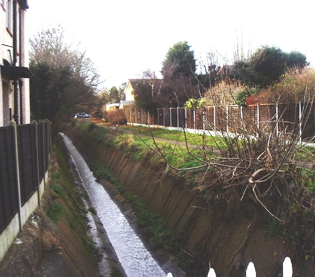
Image: © David Kemp Taken: 31 Dec 2005
Taken from Flemming Avenue looking west. Prittle Brook, a short tributary of the River Roach rising near Thundersley, forms a shallow valley through this part of Leigh.
Images are licensed for reuse under creativecommons.org/licenses/by-sa/2.0
Image Location


Leaflet Map data © OpenStreetMap
Latitude
51.547551
Longitude
0.645102