Fittleworth Parish Church
Introduction
The photograph on this page of Fittleworth Parish Church by Colin Smith as part of the Geograph project.
The Geograph project started in 2005 with the aim of publishing, organising and preserving representative images for every square kilometre of Great Britain, Ireland and the Isle of Man.

There are currently over 7.5m images from over 14,400 individuals and you can help contribute to the project by visiting https://www.geograph.org.uk
Fittleworth Parish Church
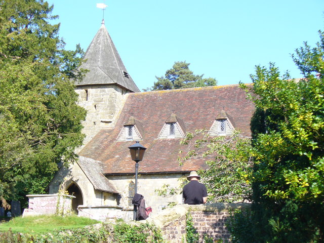
Image: © Colin Smith Taken: 26 Sep 2008
The church of St Mary the Virgin stands on high ground at the north end of the village but was closed this day for flood recovery. The figure in the foreground is sketching the church.
Images are licensed for reuse under creativecommons.org/licenses/by-sa/2.0
Image Location
Latitude
50.96393
Longitude
-0.563984