Copse
Introduction
The photograph on this page of Copse by Angella Streluk as part of the Geograph project.
The Geograph project started in 2005 with the aim of publishing, organising and preserving representative images for every square kilometre of Great Britain, Ireland and the Isle of Man.

There are currently over 7.5m images from over 14,400 individuals and you can help contribute to the project by visiting https://www.geograph.org.uk
Copse
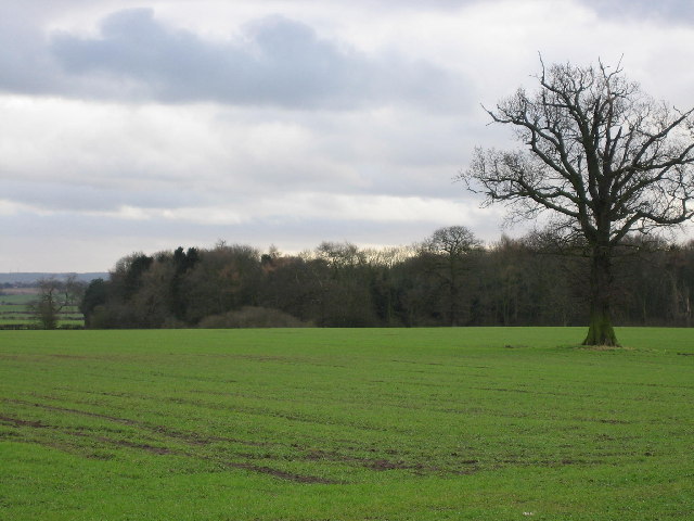
Image: © Angella Streluk Taken: 31 Dec 2005
This copse is not named on the OS map, although it is marked. The lone tree in the middle of the field may mark the site of a hedgerow since removed.
Images are licensed for reuse under creativecommons.org/licenses/by-sa/2.0
Image Location


Leaflet Map data © OpenStreetMap
Latitude
52.656443
Longitude
-1.59785