Field by Upcott Cross
Introduction
The photograph on this page of Field by Upcott Cross by Derek Harper as part of the Geograph project.
The Geograph project started in 2005 with the aim of publishing, organising and preserving representative images for every square kilometre of Great Britain, Ireland and the Isle of Man.

There are currently over 7.5m images from over 14,400 individuals and you can help contribute to the project by visiting https://www.geograph.org.uk
Field by Upcott Cross
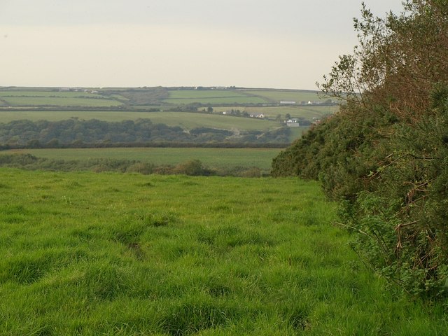
Image: © Derek Harper Taken: 25 Sep 2008
This field complements the one shown in Image; the hedges on the left and right, respectively, of the two photos, enclose the lane to Henaford. The other field is currently full of standing maize, so Henaford is invisible (September 2008).
Images are licensed for reuse under creativecommons.org/licenses/by-sa/2.0
Image Location
Latitude
50.936975
Longitude
-4.4966