St Mary's Church, Kings Worthy
Introduction
The photograph on this page of St Mary's Church, Kings Worthy by Pierre Terre as part of the Geograph project.
The Geograph project started in 2005 with the aim of publishing, organising and preserving representative images for every square kilometre of Great Britain, Ireland and the Isle of Man.

There are currently over 7.5m images from over 14,400 individuals and you can help contribute to the project by visiting https://www.geograph.org.uk
St Mary's Church, Kings Worthy
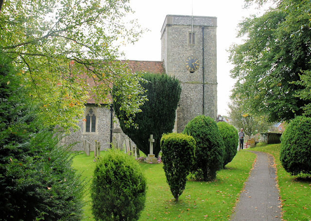
Image: © Pierre Terre Taken: 13 Sep 2008
A mainly Victorian church with some surviving 12th and 13th century parts.
Images are licensed for reuse under creativecommons.org/licenses/by-sa/2.0
Image Location


Leaflet Map data © OpenStreetMap
Latitude
51.087912
Longitude
-1.298907