Grazing land, Steelend
Introduction
The photograph on this page of Grazing land, Steelend by Richard Webb as part of the Geograph project.
The Geograph project started in 2005 with the aim of publishing, organising and preserving representative images for every square kilometre of Great Britain, Ireland and the Isle of Man.

There are currently over 7.5m images from over 14,400 individuals and you can help contribute to the project by visiting https://www.geograph.org.uk
Grazing land, Steelend
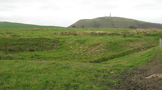
Image: © Richard Webb Taken: 25 Sep 2008
Former quarrying and mining country beneath Knock Hill. There was a railway here once.
Images are licensed for reuse under creativecommons.org/licenses/by-sa/2.0
Image Location
Latitude
56.116204
Longitude
-3.522983