Penmaenmawr Golf Course & Alltwen
Introduction
The photograph on this page of Penmaenmawr Golf Course & Alltwen by Stephen Elwyn RODDICK as part of the Geograph project.
The Geograph project started in 2005 with the aim of publishing, organising and preserving representative images for every square kilometre of Great Britain, Ireland and the Isle of Man.

There are currently over 7.5m images from over 14,400 individuals and you can help contribute to the project by visiting https://www.geograph.org.uk
Penmaenmawr Golf Course & Alltwen
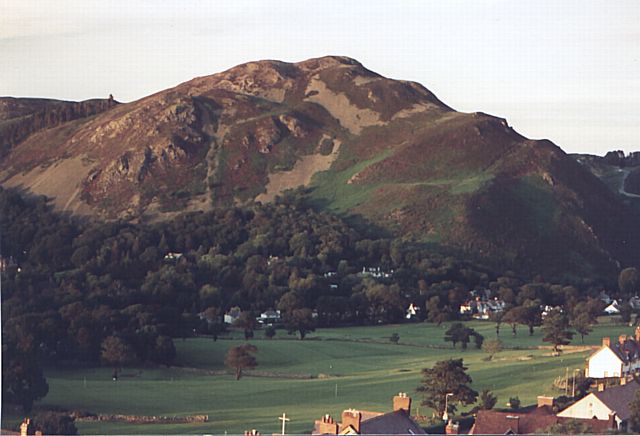
Image: © Stephen Elwyn RODDICK Taken: Unknown
Looking East North East from 'Foel Lus' (meaning Bilberry Hill) towards 'Alltwen' a hilltop fort (meaning White Cliff) across Penmaenmawr Golf Course.
Images are licensed for reuse under creativecommons.org/licenses/by-sa/2.0
Image Location


Leaflet Map data © OpenStreetMap
Latitude
53.275936
Longitude
-3.886575