Houses in the Mill Lane area
Introduction
The photograph on this page of Houses in the Mill Lane area by Eric Jones as part of the Geograph project.
The Geograph project started in 2005 with the aim of publishing, organising and preserving representative images for every square kilometre of Great Britain, Ireland and the Isle of Man.

There are currently over 7.5m images from over 14,400 individuals and you can help contribute to the project by visiting https://www.geograph.org.uk
Houses in the Mill Lane area
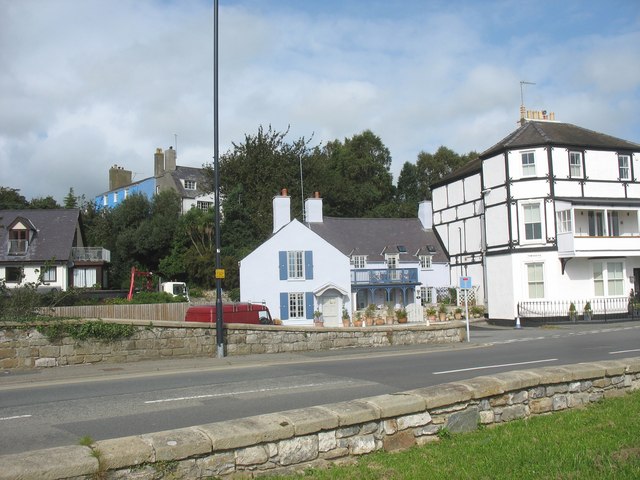
Image: © Eric Jones Taken: 24 Sep 2008
The bridge on the right is known as Townsend Bridge. It spans Nant-y-Felin which got its name because it was utilized to work the town's corn mill.
Images are licensed for reuse under creativecommons.org/licenses/by-sa/2.0
Image Location
Latitude
53.261522
Longitude
-4.098101