Wesley Close, Sacriston
Introduction
The photograph on this page of Wesley Close, Sacriston by Stephen Craven as part of the Geograph project.
The Geograph project started in 2005 with the aim of publishing, organising and preserving representative images for every square kilometre of Great Britain, Ireland and the Isle of Man.

There are currently over 7.5m images from over 14,400 individuals and you can help contribute to the project by visiting https://www.geograph.org.uk
Wesley Close, Sacriston
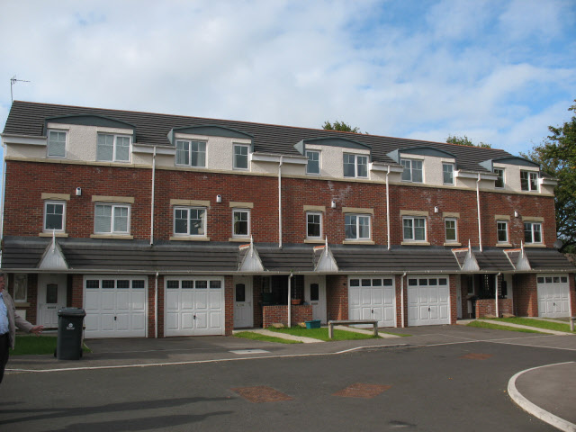
Image: © Stephen Craven Taken: 23 Sep 2008
The row of houses is named from the Methodist church that formerly occupied the site. For the replacement church see Image
Images are licensed for reuse under creativecommons.org/licenses/by-sa/2.0
Image Location
Latitude
54.820345
Longitude
-1.630197