Courstein Farm
Introduction
The photograph on this page of Courstein Farm by Morley Sewell as part of the Geograph project.
The Geograph project started in 2005 with the aim of publishing, organising and preserving representative images for every square kilometre of Great Britain, Ireland and the Isle of Man.

There are currently over 7.5m images from over 14,400 individuals and you can help contribute to the project by visiting https://www.geograph.org.uk
Courstein Farm
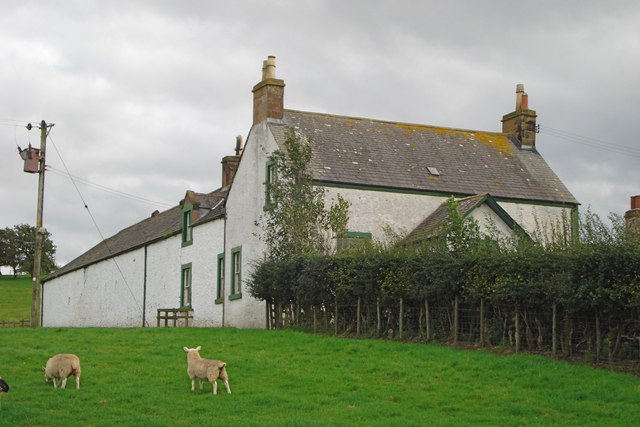
Image: © Morley Sewell Taken: 11 Sep 2008
Near Lockerbie in Dumfries and Galloway. A sheep farm about 1 Km west of the M74 in the north-east corner of the Kilometre square. Taken from the farm road.
Images are licensed for reuse under creativecommons.org/licenses/by-sa/2.0
Image Location


Leaflet Map data © OpenStreetMap
Latitude
55.106685
Longitude
-3.313478