Potato field west of Biddlestone
Introduction
The photograph on this page of Potato field west of Biddlestone by Jonathan Billinger as part of the Geograph project.
The Geograph project started in 2005 with the aim of publishing, organising and preserving representative images for every square kilometre of Great Britain, Ireland and the Isle of Man.

There are currently over 7.5m images from over 14,400 individuals and you can help contribute to the project by visiting https://www.geograph.org.uk
Potato field west of Biddlestone
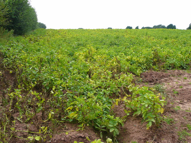
Image: © Jonathan Billinger Taken: 25 Sep 2008
The crop will shortly be harvested. It is likely that the haulm (green parts) will be chemically desiccated in order that the crop can be lifted easily with less chance of fungal diseases in store. This land used to be orchards.
Images are licensed for reuse under creativecommons.org/licenses/by-sa/2.0
Image Location
Latitude
51.902389
Longitude
-2.666945