The Public Footpath to Chapel Field Road
Introduction
The photograph on this page of The Public Footpath to Chapel Field Road by David Wright as part of the Geograph project.
The Geograph project started in 2005 with the aim of publishing, organising and preserving representative images for every square kilometre of Great Britain, Ireland and the Isle of Man.

There are currently over 7.5m images from over 14,400 individuals and you can help contribute to the project by visiting https://www.geograph.org.uk
The Public Footpath to Chapel Field Road
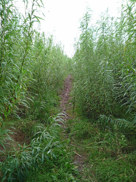
Image: © David Wright Taken: 23 Sep 2008
The path passes through a plantation of SRC (Short Rotation Coppice) Willow being grown for biofuel. The ground is littered with short offcuts from the last harvest. These make for very treacherous walking conditions as they tend to rotate underfoot.
Images are licensed for reuse under creativecommons.org/licenses/by-sa/2.0
Image Location


Leaflet Map data © OpenStreetMap
Latitude
53.678839
Longitude
-0.322804