Waymark Chestnut
Introduction
The photograph on this page of Waymark Chestnut by Gerald England as part of the Geograph project.
The Geograph project started in 2005 with the aim of publishing, organising and preserving representative images for every square kilometre of Great Britain, Ireland and the Isle of Man.

There are currently over 7.5m images from over 14,400 individuals and you can help contribute to the project by visiting https://www.geograph.org.uk
Waymark Chestnut
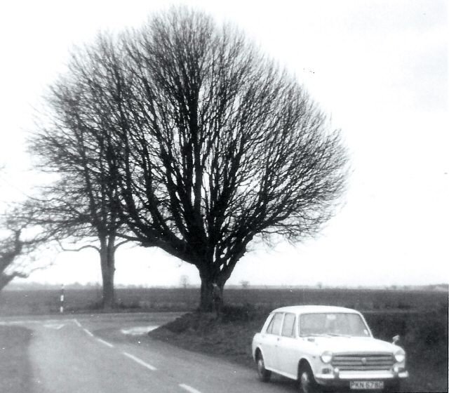
Image: © Gerald England Taken: Unknown
This tree was a waymarker on the A166 being at the junction of the unclassified road that leads via Buttercrambe to Malton, a pleasant country route over the Wolds.
Images are licensed for reuse under creativecommons.org/licenses/by-sa/2.0
Image Location
Latitude
53.991229
Longitude
-0.930324