Carisbrook Avenue, Hurdsfield, Macclesfield
Introduction
The photograph on this page of Carisbrook Avenue, Hurdsfield, Macclesfield by Jonathan Billinger as part of the Geograph project.
The Geograph project started in 2005 with the aim of publishing, organising and preserving representative images for every square kilometre of Great Britain, Ireland and the Isle of Man.

There are currently over 7.5m images from over 14,400 individuals and you can help contribute to the project by visiting https://www.geograph.org.uk
Carisbrook Avenue, Hurdsfield, Macclesfield
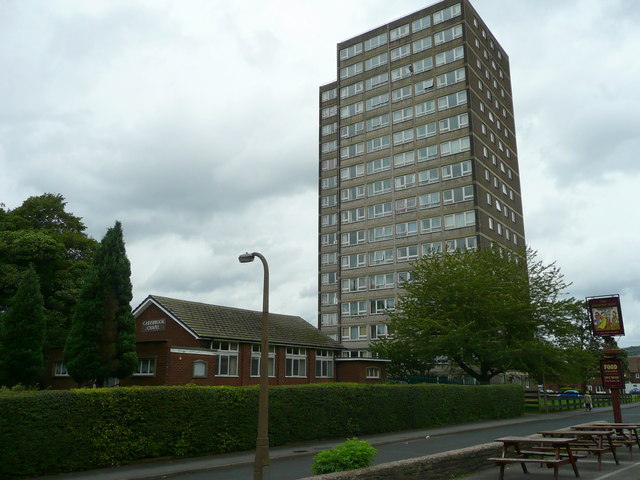
Image: © Jonathan Billinger Taken: 3 Sep 2008
The building to the left of the high-rise is Carisbrook Chapel.
Images are licensed for reuse under creativecommons.org/licenses/by-sa/2.0
Image Location
Latitude
53.268157
Longitude
-2.113761