Pond, Ruscombe
Introduction
The photograph on this page of Pond, Ruscombe by Derek Harper as part of the Geograph project.
The Geograph project started in 2005 with the aim of publishing, organising and preserving representative images for every square kilometre of Great Britain, Ireland and the Isle of Man.

There are currently over 7.5m images from over 14,400 individuals and you can help contribute to the project by visiting https://www.geograph.org.uk
Pond, Ruscombe
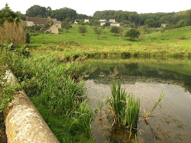
Image: © Derek Harper Taken: 18 Sep 2008
The path from Whiteshill to Ruscombe Farm crosses a valley and passes this pond at the bottom of it. The farm is ahead on the left.
Images are licensed for reuse under creativecommons.org/licenses/by-sa/2.0
Image Location
Latitude
51.760362
Longitude
-2.238584