Pasture and woodland, Lower Woodend
Introduction
The photograph on this page of Pasture and woodland, Lower Woodend by Andrew Smith as part of the Geograph project.
The Geograph project started in 2005 with the aim of publishing, organising and preserving representative images for every square kilometre of Great Britain, Ireland and the Isle of Man.

There are currently over 7.5m images from over 14,400 individuals and you can help contribute to the project by visiting https://www.geograph.org.uk
Pasture and woodland, Lower Woodend
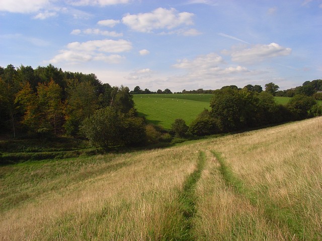
Image: © Andrew Smith Taken: 14 Sep 2008
The track here is a public footpath. A road is in the dry valley, this side of the greener pasture being grazed by sheep.
Images are licensed for reuse under creativecommons.org/licenses/by-sa/2.0
Image Location
Latitude
51.584045
Longitude
-0.822223