Fields by Upper Hatton
Introduction
The photograph on this page of Fields by Upper Hatton by Callum Black as part of the Geograph project.
The Geograph project started in 2005 with the aim of publishing, organising and preserving representative images for every square kilometre of Great Britain, Ireland and the Isle of Man.

There are currently over 7.5m images from over 14,400 individuals and you can help contribute to the project by visiting https://www.geograph.org.uk
Fields by Upper Hatton
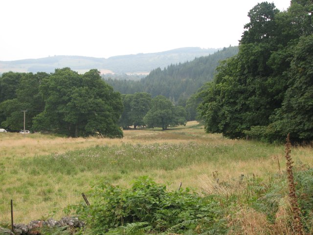
Image: © Callum Black Taken: 30 Aug 2008
Mature trees growing in an area of rough pasture.
Images are licensed for reuse under creativecommons.org/licenses/by-sa/2.0
Image Location
Latitude
56.58449
Longitude
-3.583124