Countryside at Gall End Lane
Introduction
The photograph on this page of Countryside at Gall End Lane by Thomas Nugent as part of the Geograph project.
The Geograph project started in 2005 with the aim of publishing, organising and preserving representative images for every square kilometre of Great Britain, Ireland and the Isle of Man.

There are currently over 7.5m images from over 14,400 individuals and you can help contribute to the project by visiting https://www.geograph.org.uk
Countryside at Gall End Lane
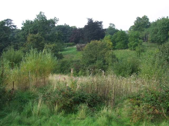
Image: © Thomas Nugent Taken: 22 Sep 2008
Viewed from the top of the hill at the end of the lane, looking west towards High Lane.
Images are licensed for reuse under creativecommons.org/licenses/by-sa/2.0
Image Location
Latitude
51.905945
Longitude
0.203927