Furze Green
Introduction
The photograph on this page of Furze Green by Peter Thwaite as part of the Geograph project.
The Geograph project started in 2005 with the aim of publishing, organising and preserving representative images for every square kilometre of Great Britain, Ireland and the Isle of Man.

There are currently over 7.5m images from over 14,400 individuals and you can help contribute to the project by visiting https://www.geograph.org.uk
Furze Green
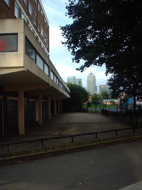
Image: © Peter Thwaite Taken: 16 Aug 2008
On the corner of Devons Road and Gale Street the garages at the rear of Mollis House lead towards Furze Green. About a mile further south lies the Canary Wharf development.
Images are licensed for reuse under creativecommons.org/licenses/by-sa/2.0
Image Location


Leaflet Map data © OpenStreetMap
Latitude
51.518604
Longitude
-0.021525