Anstruther, western approaches
Introduction
The photograph on this page of Anstruther, western approaches by Jim Bain as part of the Geograph project.
The Geograph project started in 2005 with the aim of publishing, organising and preserving representative images for every square kilometre of Great Britain, Ireland and the Isle of Man.

There are currently over 7.5m images from over 14,400 individuals and you can help contribute to the project by visiting https://www.geograph.org.uk
Anstruther, western approaches
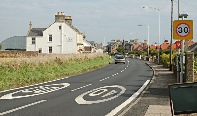
Image: © Jim Bain Taken: 21 Sep 2008
The end of the short stretch of road between Pittenweem and Anstruther with the start of the 30 zone on the western end of the town.
Images are licensed for reuse under creativecommons.org/licenses/by-sa/2.0
Image Location
Latitude
56.218424
Longitude
-2.711397