The A4042 through Llanover
Introduction
The photograph on this page of The A4042 through Llanover by Robin Drayton as part of the Geograph project.
The Geograph project started in 2005 with the aim of publishing, organising and preserving representative images for every square kilometre of Great Britain, Ireland and the Isle of Man.

There are currently over 7.5m images from over 14,400 individuals and you can help contribute to the project by visiting https://www.geograph.org.uk
The A4042 through Llanover
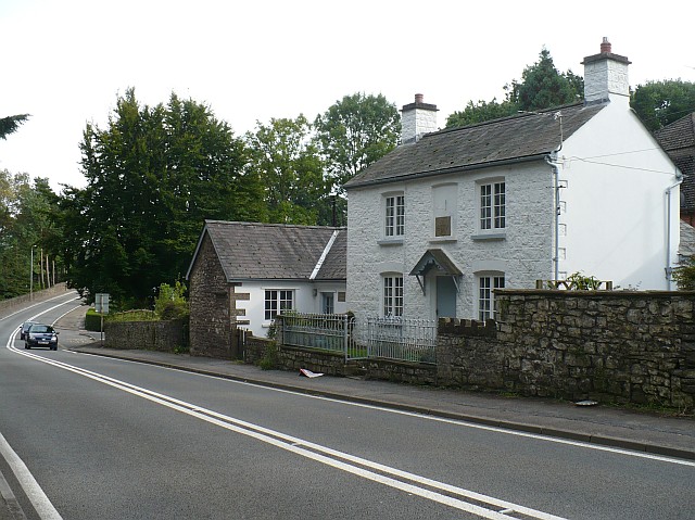
Image: © Robin Drayton Taken: 10 Sep 2008
Very little of Llanover is visible from the A4042 as it passes the village. Travelling southbound, on the left there is a wall behind which is a large area of parkland. This is one of the houses on the right.
Images are licensed for reuse under creativecommons.org/licenses/by-sa/2.0
Image Location
Latitude
51.76672
Longitude
-2.996358