Eling estate woodland
Introduction
The photograph on this page of Eling estate woodland by Graham Horn as part of the Geograph project.
The Geograph project started in 2005 with the aim of publishing, organising and preserving representative images for every square kilometre of Great Britain, Ireland and the Isle of Man.

There are currently over 7.5m images from over 14,400 individuals and you can help contribute to the project by visiting https://www.geograph.org.uk
Eling estate woodland
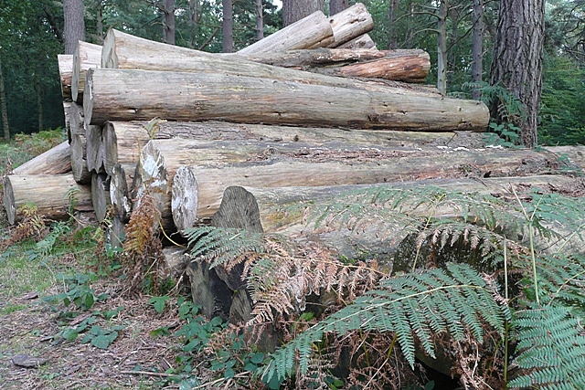
Image: © Graham Horn Taken: 22 Sep 2008
The Eling estate is a working timber woodland, and although there are permissive paths through sometimes they are closed due to timber felling.
Images are licensed for reuse under creativecommons.org/licenses/by-sa/2.0
Image Location
Latitude
51.441664
Longitude
-1.27063