View south-east across the A40
Introduction
The photograph on this page of View south-east across the A40 by Jonathan Billinger as part of the Geograph project.
The Geograph project started in 2005 with the aim of publishing, organising and preserving representative images for every square kilometre of Great Britain, Ireland and the Isle of Man.

There are currently over 7.5m images from over 14,400 individuals and you can help contribute to the project by visiting https://www.geograph.org.uk
View south-east across the A40
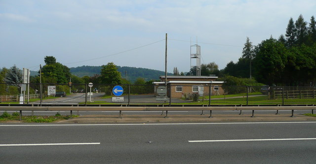
Image: © Jonathan Billinger Taken: 18 Sep 2008
The fast dual carriageway splits the village with the fire station and the road to Symonds Yat West on the other side of the carriageway.
Images are licensed for reuse under creativecommons.org/licenses/by-sa/2.0
Image Location


Leaflet Map data © OpenStreetMap
Latitude
51.854546
Longitude
-2.65288