Shepton Mallet: towards Draycott Road
Introduction
The photograph on this page of Shepton Mallet: towards Draycott Road by Martin Bodman as part of the Geograph project.
The Geograph project started in 2005 with the aim of publishing, organising and preserving representative images for every square kilometre of Great Britain, Ireland and the Isle of Man.

There are currently over 7.5m images from over 14,400 individuals and you can help contribute to the project by visiting https://www.geograph.org.uk
Shepton Mallet: towards Draycott Road
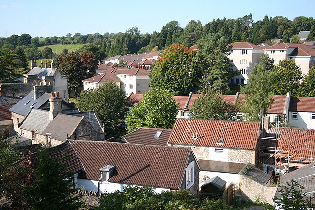
Image: © Martin Bodman Taken: 21 Sep 2008
With the roof of Sales House just visible on the left. Beyond it, to the right, stand the low-rise apartment blocks built in the 1960s and 1970s when this part of lower Shepton was re-developed
Images are licensed for reuse under creativecommons.org/licenses/by-sa/2.0
Image Location
Latitude
51.192852
Longitude
-2.54889