The Jingling Gate public house
Introduction
The photograph on this page of The Jingling Gate public house by Chris Tweedy as part of the Geograph project.
The Geograph project started in 2005 with the aim of publishing, organising and preserving representative images for every square kilometre of Great Britain, Ireland and the Isle of Man.

There are currently over 7.5m images from over 14,400 individuals and you can help contribute to the project by visiting https://www.geograph.org.uk
The Jingling Gate public house
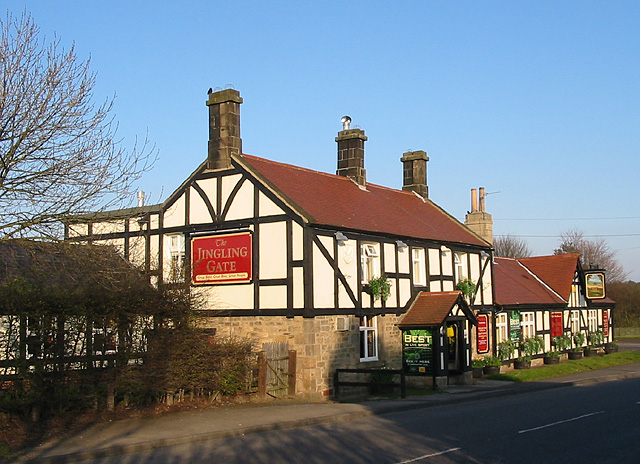
Image: © Chris Tweedy Taken: 14 Mar 2003
Just north of the village of Westerhope on the Stamfordham road.
Images are licensed for reuse under creativecommons.org/licenses/by-sa/2.0
Image Location
Latitude
55.00442
Longitude
-1.709178