Shepton Mallet: Lower Lane
Introduction
The photograph on this page of Shepton Mallet: Lower Lane by Martin Bodman as part of the Geograph project.
The Geograph project started in 2005 with the aim of publishing, organising and preserving representative images for every square kilometre of Great Britain, Ireland and the Isle of Man.

There are currently over 7.5m images from over 14,400 individuals and you can help contribute to the project by visiting https://www.geograph.org.uk
Shepton Mallet: Lower Lane
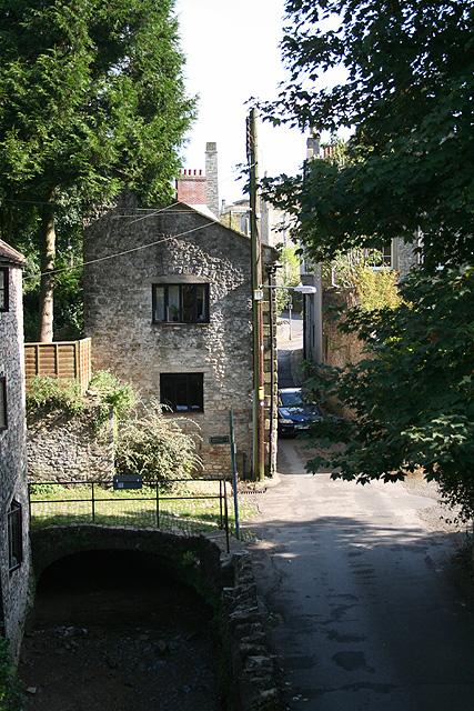
Image: © Martin Bodman Taken: 21 Sep 2008
Seen from Edengrove footbridge, looking towards Leg Square. The footpath signposted over the river Sheppey leads to Barren Down and the Fosse Way
Images are licensed for reuse under creativecommons.org/licenses/by-sa/2.0
Image Location
Latitude
51.191615
Longitude
-2.544153