Mackintosh Davidson Wood, West Knoyle
Introduction
The photograph on this page of Mackintosh Davidson Wood, West Knoyle by Andrew Smith as part of the Geograph project.
The Geograph project started in 2005 with the aim of publishing, organising and preserving representative images for every square kilometre of Great Britain, Ireland and the Isle of Man.

There are currently over 7.5m images from over 14,400 individuals and you can help contribute to the project by visiting https://www.geograph.org.uk
Mackintosh Davidson Wood, West Knoyle
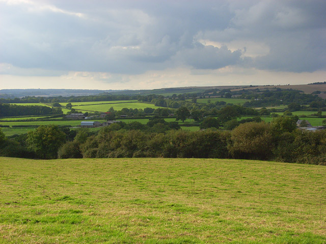
Image: © Andrew Smith Taken: 13 Sep 2008
A view over the southwestern corner of the nature reserve from the knoll on its southern edge. Beyond the reserve is a mostly pastoral landscape.
Images are licensed for reuse under creativecommons.org/licenses/by-sa/2.0
Image Location
Latitude
51.07993
Longitude
-2.211224