Downland, West Knoyle
Introduction
The photograph on this page of Downland, West Knoyle by Andrew Smith as part of the Geograph project.
The Geograph project started in 2005 with the aim of publishing, organising and preserving representative images for every square kilometre of Great Britain, Ireland and the Isle of Man.

There are currently over 7.5m images from over 14,400 individuals and you can help contribute to the project by visiting https://www.geograph.org.uk
Downland, West Knoyle
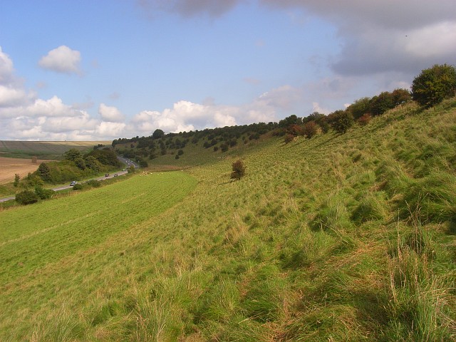
Image: © Andrew Smith Taken: 13 Sep 2008
A relatively small amount of foreground is within ST8432. The A303 is below, climbing Chaddenwick Hill.
Images are licensed for reuse under creativecommons.org/licenses/by-sa/2.0
Image Location
Latitude
51.095818
Longitude
-2.226291